Pages

Welcome!

Through a variety of audiovisuals, Lower School students document their class experiences.

msolberg@cotopaxi.k12.ec


Friday, May 17, 2013

ECUAVISA TV Interviews about Pegasus (NEE-01) Satellite

One afternoon in May, our class had an interview with Ecuavisa TV and it was flabbergasting! They asked us about how we use satellite images in the classroom, and they looked at our data. Our assignment that day was to plan a trip for our teacher in South America, and to use a budget to figure out the flight, activities, meals, and the hotel. We looked at images which we downloaded ourselves by using the Ecuadorian Civilian Space Agency’s ground station, Minotaur, and the HERMES-Delta program. We showed the reporter our thermal images, temperature images, 3D images, etc.  Some of us were interviewed by the reporter, who was a woman with a red dress, brown hair and was tall. 
        When we were interviewed, she asked us questions like if we enjoyed using satellite education for math class. She also asked questions like, “What does this image show us?” We replied that it was a 3D image of South America, and it showed us where clouds were. Some clouds look alike, but they don’t all have rain. We can identify which clouds have rain, by looking at a satellite image about precipitation.  These images also help us to forecast the weather, by the types of clouds that they show like “stratus” or “cumulus”.                                                               


After that they left and said that we were coming up on TV, and we got really excited that we were going to appear on TV sometime soon. This was a great experience!

Tuesday, April 30, 2013

Satellite Education: Combining NASA & EXA in Math Class (draft by C.V., J.S., I.L. and edited by classmates)

        Ms. Margot told us that she was going to do a class "contest" to find out which group could plan the best trip for her and, her friend, Ms. Lorena. The trip would be for two days, with a budget of $1,200 for the plane, hotel and fun stuff to do. First we would practice by using NASA's Weather Data Learning Center (WDLC), and then we'd use what we learned to do the same thing with the Ecuadorian Civilian Space Agency's (EXA's) HERMES-Delta program, that helps us to get our own satellite images of South America.
        First we had to do the research (see Video #1 below). Ms. Margot wanted to do new and exciting things on her "trip", but nothing having to do with hunting or fishing (she doesn't like killing things). Although she would take any kind of transportation, she liked planes best because they're faster. So we started planning an interesting trip for her by using www.travelocity.com. We had to figure out what she was going to do, where she was going to stay, and how she was going to get there.


        Then after a few days of getting ideas, Ms. Margot gave us the travel date and we had to see how the weather was, because sometimes this affected the activities we were planning on telling her about (see Video #2 below). One group saw that there was a storm in Arkansas, so they decided to change their place to a part in Louisiana that had less precipitation. They also chose indoor activities to do instead. Sadly, we later found out that this storm devoured the state.


        Finally, after our teams found the best deals and ideas, we gave a presentation to our classmates and Ms. Margot. First we chose a place in the US (leaving from California) and used the WDLC, then we chose a country in South America and used our own satellite downloads from EXA (see Video #3). Ms. Margot says that we're all winners already, but there will be one group who will get a little something extra if they can persuade her the best. So pay attention to how we used clever words and ideas in our presentations!


Teacher note: Not only did students cover many math curriculum standards with this activity (number sense, word problems, estimation, etc), but they also practiced analytical and critical thinking skills. Icing on the cake included learning some geography, language arts and presentation skills along the way...and all while having f-u-n! The teacher was also entertained to no end :-).

Tuesday, April 16, 2013

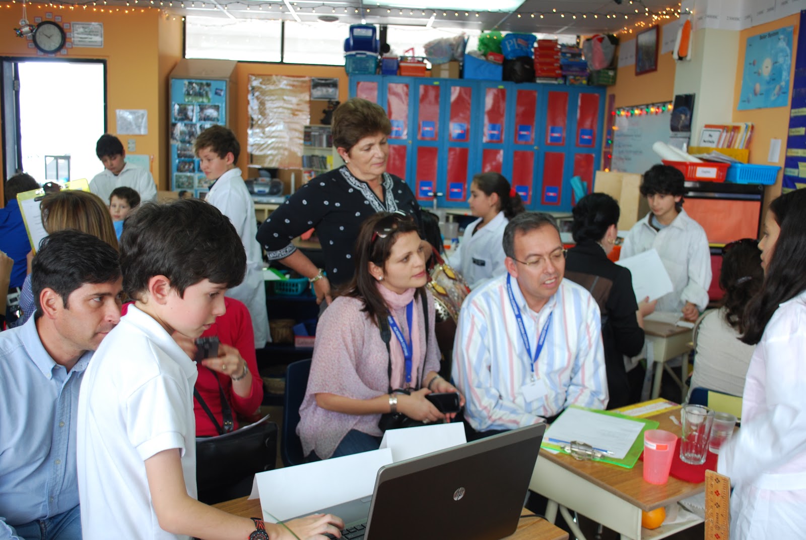
Water Unit Presentation Day (By I.L.)

For our Water Unit, all of the kids in the class chose a water issue to research for our summative assessment. Some issues were: water pollution, oil spills, sinkholes and erosion.  Once we decided what to learn about, we had to research about it. Then we took notes and put them on our Power Point presentations. We also researched lab
experiments and wrote up a lab report.Our experiments were about water properties that were connected to our water issues and included: states of water, cohesion/adhesion, density and capillary action. In the end, our Power Point showed what we learned about a water issue, a water property that connected with it, its effects on the environment, world solutions and also what we can do. We talked and talked during our presentation day, and repeated the same thing to different people, but it was still cool to see the adults learning.  I thought it was an awesome day, except that we all finished feeling thirsty!